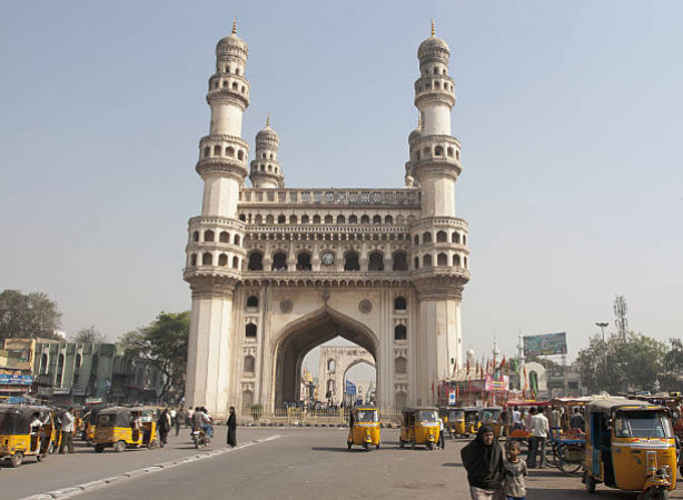
Adilabad Travel Guide
Adilabad, located in the southern part of India, is a region steeped in history, culture, and natural beauty. Known for its lush forests, pristine rivers, and diverse wildlife, Adilabad is a popular destination for nature lovers and adventure seekers. The region has a rich cultural heritage, with influences from various dynasties that once ruled this land. Adilabad is also famous for its traditional arts and crafts, including intricate wood carvings and vibrant tribal festivals.Top Attractions in Adilabad
1. **Kuntala Waterfall**: The highest waterfall in the state, offering a breathtaking view. 2. **Pochera Waterfall**: A serene waterfall surrounded by lush greenery. 3. **Basar Saraswati Temple**: A renowned temple dedicated to Goddess Saraswati. 4. **Kadam Dam**: A picturesque spot for picnics and boating. 5. **Kawal Wildlife Sanctuary**: Home to a variety of flora and fauna.Adilabad is Famous for
Its stunning waterfalls and rich tribal culture.Top Attractions in Adilabad
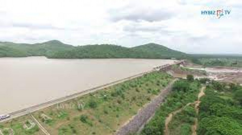
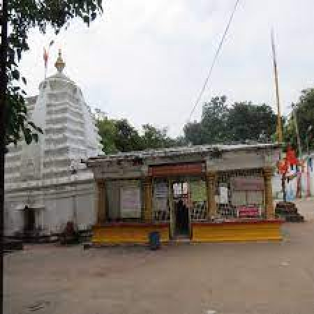
- **Kuntala Waterfall** - **Pochera Waterfall** - **Basar Saraswati Temple** - **Kadam Dam** - **Kawal Wildlife Sanctuary**What's Great about Travelling to Adilabad?
- Experience the beauty of untouched nature. - Explore the vibrant tribal culture. - Ideal for off-the-beaten-path travelers.What's Not So Great about Travelling to Adilabad?
- Limited luxury accommodation options. - Limited transportation infrastructure. - Not suitable for travelers seeking a bustling city experience.Travel Tips for Adilabad
- **Visa Requirements**: Check visa regulations before traveling. - **Transportation**: Renting a car is recommended for exploring the region. - **Safety**: Stay alert in remote areas and follow local guidelines.Important Adilabad trip information
- Ideal Duration: A 3-4 day trip is ideal to explore the main attractions.
- Best Time to Visit: Visit between October to February for pleasant weather.
- Nearby Airports and Railway Stations: The nearest airport is in Hyderabad, approximately 300 km away. Adilabad has its own railway station.
Top 17 Places to visit in Adilabad
Per Person
12,070
*EXCLUDING APPLICABLE TAXES 5.0 Ratings
( 393 Reviews )
( 393 Reviews )
Per Person
11,486
*EXCLUDING APPLICABLE TAXES 5.0 Ratings
( 393 Reviews )
( 393 Reviews )
FAQ's on Adilabad
Q1: What is the best time to visit Adilabad?
The best time to visit Adilabad is during the winter months from November to February when the weather is pleasant and cool. This period is ideal for exploring outdoor attractions and enjoying cultural events. Avoid visiting during the monsoon season from June to September as heavy rainfall may disrupt travel plans.
Q2: Do I need a visa to travel to Adilabad?
Most visitors to Adilabad will require a valid visa to enter the country. It is recommended to check with the nearest embassy or consulate for specific visa requirements based on your nationality. Some countries may be eligible for visa-on-arrival or e-visa facilities, so it's essential to research and plan ahead.
Q3: What are the must-visit attractions in Adilabad?
Adilabad boasts a rich cultural heritage and natural beauty. Must-visit attractions include the Kala Ashram, Basar Saraswathi Temple, Kawal Wildlife Sanctuary, Jainath Temple, and the mesmerizing Pochera Waterfalls. Nature enthusiasts will enjoy exploring the scenic landscapes and wildlife reserves that Adilabad has to offer.
Q4: Is Adilabad a safe place to travel?
Adilabad is generally a safe destination for travelers. However, like any other place, it is advisable to take standard precautions such as safeguarding your belongings, avoiding isolated areas at night, and being aware of your surroundings. It's recommended to stay informed about local news and follow any travel advisories during your visit.
Q5: What is the local currency in Adilabad and can I use credit cards?
The local currency in Adilabad is the Indian Rupee (INR). While credit cards are widely accepted in major establishments such as hotels and restaurants, it's advisable to carry cash for smaller vendors and markets. ATMs are also available in urban areas for convenient access to cash.
Q6: What is the local cuisine like in Adilabad?
Adilabad offers a variety of traditional Telugu cuisine with flavorful dishes like Biryani, Pulusu, and Gongura. Vegetarians will enjoy options like Gutti Vankaya and Pesarattu. Don't miss trying the local street food like Mirchi Bajji and Punugulu. Food in Adilabad is generally spicy and flavorful, reflecting the rich culinary heritage of the region.
Q7: What transportation options are available in Adilabad?
Transportation in Adilabad includes buses, auto-rickshaws, and taxis for local travel. Rental cars are also available for exploring the region at your own pace. Public transport is a cost-effective option for getting around the city, while taxis provide more convenience and comfort for travelers. It's advisable to negotiate fares with auto-rickshaw drivers before starting your journey.
Q8: Are there any cultural norms or etiquette I should be aware of when visiting Adilabad?
When visiting Adilabad, it is important to respect local customs and traditions. Dress modestly, especially when visiting religious sites or rural areas. Always remove your shoes before entering a home or temple. Greeting people with a "Namaste" is a common practice. Avoid public displays of affection, and be mindful of local beliefs and practices. Showing respect for the culture and customs of Adilabad will enhance your travel experience.
Q9: I am a travel agent. How can I buy travel leads of Adilabad?
Register yourself as a travel agent at agents.tripclap.com and then you can buy travel leads to Adilabad once your account is approved. For more details contact our support team at +91-8069186564 or support@tripclap.com
