Hi User
Hi User
Navigation
1 Purulia Tour Packages
100% Customized for Indians
Verified Travel Agents • Best prices • Visa assistance • 24/7 support
4.3
Rating
TAAI
Member
100K+
Happy Travellers
24x7
Support
Compare Quotes
from upto 3 agents & save upto 30%
Top Rated Agents
Rated 4.3 over 300,000+ trips
Pay via TripClap
for money safe guarantee
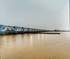
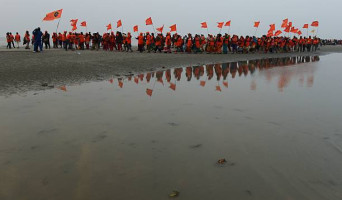
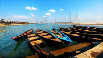
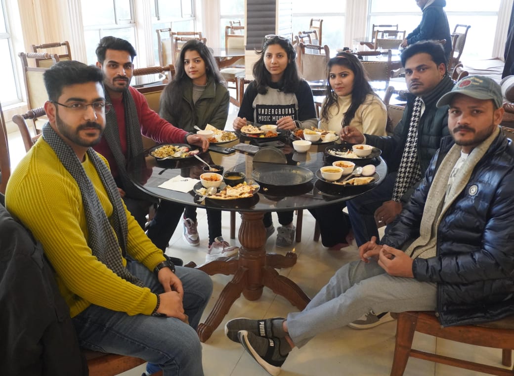
Best Selling Tour Packages for Purulia
| Packages | Price | Duration | Destinations | Quotes |
|---|---|---|---|---|
| Purulia Tour 3N/4D (BASED ON 4 PAX) | ₹ (INR) 8500 | 5 Nights / 6 Days | Purulia |
Packages by Themes
Showing 1 Purulia Tour Packages

Starts from
₹12,143 30% off
₹ 8,500
per person
4.7
69 Reviews
₹12,143 30% off
₹ 8,500
per person
Loading more packages...
Please wait
No more packages to load
You've reached the end