


 SAVE ₹17,500 4.9 (113)
 HONG KONG S.A.R.
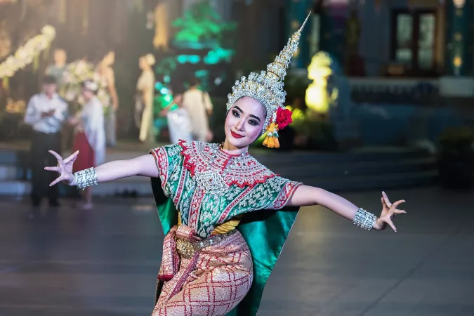
4N 5D Hong Kong : city lights and disney delights5 days & 4 nights • Hong Kong S.A.R.
The Happy Vacation • Top Partner
₹87,499
₹69,999 /Adult

 SAVE ₹17,500 4.9 (113)
 HONG KONG S.A.R.
4N 5D Hong Kong : city lights and disney delights5 days & 4 nights • Hong Kong S.A.R.
The Happy Vacation • Top Partner
 SAVE ₹17,950 4.9 (113)
 HONG KONG
Hong Kong Family Travel Package - 4 Nights & 5 Days5 days & 4 nights • Hong Kong
The Happy Vacation • Top Partner
 4.9 (442)
 HONG KONG
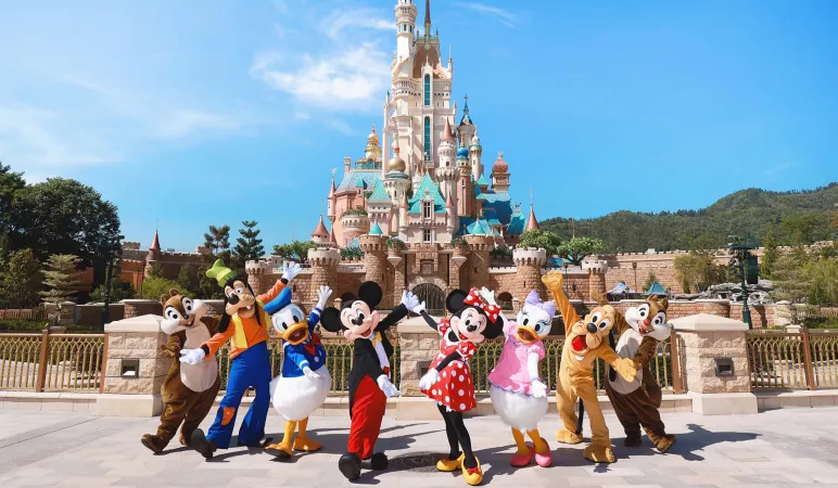
5 Days in Hong Kong: City Lights & Disney Delights5 days & 4 nights • Hong Kong • Hong Kong S.A.R.
Tripoclan Travel Private Limited • Top Partner
SAVE ₹19,920 4.9 (442) HONG KONG
Hong Kong 5-Day Tour Package with Disneyland5 days & 4 nights • Hong Kong • Hong Kong S.A.R.
Tripoclan Travel Private Limited • Top Partner
 4.9 (113)
 HONG KONG
Hong Kong : Honeymoon travel package5 days & 4 nights • Hong Kong
The Happy Vacation • Top Partner
 SAVE ₹5,500 4.9 (50)
 HONG KONG S.A.R.
Harbour Dreams: Explore Hong Kong in Style5 days & 4 nights • Hong Kong S.A.R.
fare o city travel services pvt ltd • Verified