Hi User
Hi User
Navigation
Goalpara Travel Guide
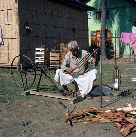
Goalpara, located in the state of Assam, India, is a region steeped in history, with a rich cultural heritage. Known for its picturesque landscapes and vibrant festivals, Goalpara is a popular destination for travelers seeking an authentic Indian experience. The region is famous for its historical significance, as it was once a princely state under British rule.Top Attractions in Goalpara
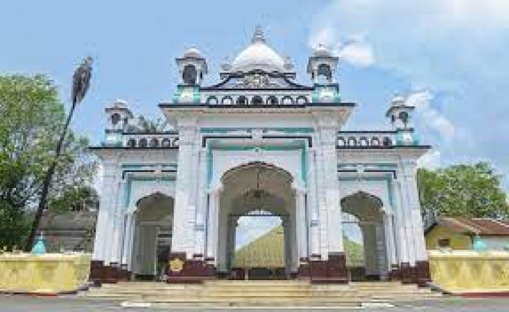
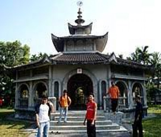
- Kamakhya Temple
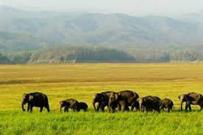
- Manas National Park
- Goalpara Wildlife Sanctuary
- Bhairabkunda
- Rangjuli
Goalpara is Famous for
Goalpara is most famous for its diverse wildlife and natural beauty, attracting nature lovers and adventure enthusiasts from around the world.Top Attractions in Goalpara
- Explore the ancient Kamakhya Temple
- Embark on a safari in Manas National Park
- Discover the unique flora and fauna at Goalpara Wildlife Sanctuary
- Visit the scenic Bhairabkunda for breathtaking views
- Experience the cultural heritage of Rangjuli
What's Great about Travelling to Goalpara?
- Rich Cultural Heritage: Experience the vibrant festivals and traditions of Assam
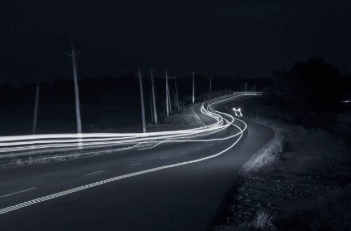
- Scenic Beauty: Explore the lush greenery and picturesque landscapes
- Wildlife Encounters: Encounter diverse flora and fauna in the national parks
What's Not So Great about Travelling Goalpara?
- Remote Location: Limited transportation options to reach the region
- Monsoon Challenges: Heavy rainfall can affect travel plans during the monsoon season
- Language Barrier: Limited English speakers in some areas
Travel Tips for Goalpara
- Visa Requirements: Check visa regulations before traveling to India
- Transportation: Hire a local guide for easier navigation in the region
- Safety Tips: Be cautious of wildlife in national parks and carry insect repellent
Important Goalpara trip information
- Ideal Duration: Spend at least 3-4 days to explore the main attractions
- Best Time to Visit: Visit between October and March for pleasant weather
- Nearby Airports and Railway Stations: Guwahati Airport and New Bongaigaon Railway Station
Popular Goalpara Tour Packages From:
Budget Goalpara Tour Packages Under:
Top 11 Places to visit in Goalpara

Help & Support
Call Us Now
+91-9560444784


FAQ's on Goalpara
Q1: What is the best time to visit Goalpara?
experiences a pleasant climate from October to March, making it the best time to visit. This period offers comfortable temperatures for exploring the attractions and engaging in outdoor activities. The winter months are also when various festivals and cultural events take place, adding to the vibrant atmosphere of the region.
Q2: Do I need a visa to travel to Goalpara?
Most visitors to will need a tourist visa to enter the country. It is advisable to check the specific visa requirements based on your nationality. Some countries may be eligible for visa exemptions or visa on arrival services, so it is essential to research and plan accordingly.
Q3: What are the must-visit attractions in Goalpara?
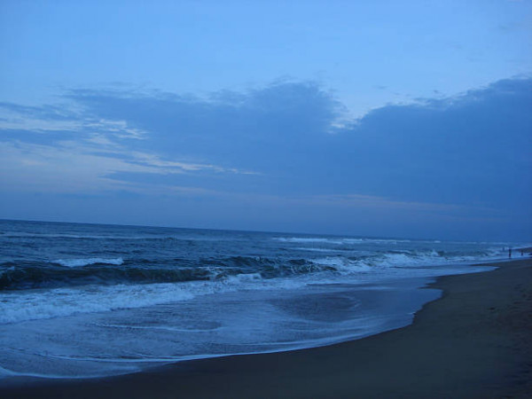
When in , don't miss the scenic beauty of Dudhnoi Lake, the historical significance of Sri Surya Pahar, and the wildlife wonders of Balpakram National Park. Explore the rich cultural heritage at Manas National Park and soak in the tranquility of the Goalpara Beach for a well-rounded experience.
Q4: Is Goalpara a safe place to travel?
is generally safe for tourists, but like any destination, it's essential to remain cautious and be aware of your surroundings. Avoid isolated areas at night and take necessary precautions to safeguard your belongings. Stay informed about any local advisories and follow basic safety guidelines during your visit.
Q5: What is the local currency in Goalpara and can I use credit cards?
The local currency in is the Indian Rupee (INR). While credit cards are accepted in major establishments such as hotels and restaurants, it's advisable to carry cash for smaller purchases and in more remote areas. ATMs are also available in urban centers for convenient currency exchange.
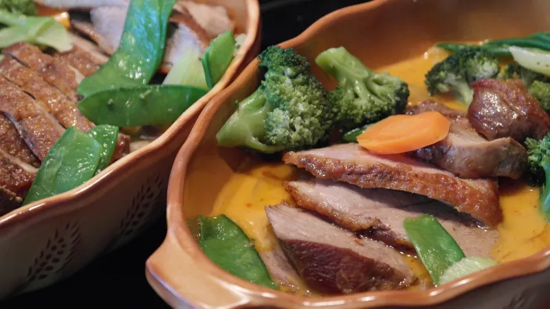
Q6: What is the local cuisine like in Goalpara?
Indulge in the flavors of with its diverse cuisine featuring dishes like Assam Laksa, Masor Tenga, and Pitha. Seafood lovers will enjoy the fresh catches prepared with local spices, while vegetarians can savor dishes like Khar and Aloo Pitika. Embrace the culinary delights of the region during your visit.
Q7: What transportation options are available in Goalpara?
Travel around with ease using public transport like buses and auto-rickshaws for short distances. Taxis and rental services are also available for more convenience and flexibility in exploring the region. Plan your transportation based on your itinerary and preferred mode of travel.
Q8: Are there any cultural norms or etiquette I should be aware of when visiting Goalpara?
Respect local customs in by dressing modestly, especially when visiting religious sites. Greet locals with a traditional "Namaste" and show appreciation for their culture and traditions. Avoid public displays of affection and be mindful of photography restrictions in certain areas. Immerse yourself in the local way of life with courtesy and respect.
Q9: I am a travel agent. How can I buy travel leads of Goalpara?
Register yourself as a travel agent at agents.tripclap.com and then you can buy travel leads to Goalpara once your account is approved. For more details contact our support team at +91-8069186564 or support@tripclap.com
Certified
We accept (more)
Members of
Media Recognition
Trusted Partners
Award
Copyrights © Tripclap Technology Private Limited. All Rights Reserved