About Barpeta Barpeta Travel Guide
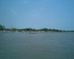
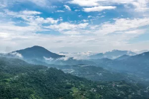
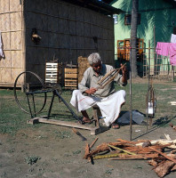
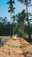
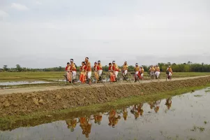
Barpeta, located in the state of Assam in India, is a town with deep historical and cultural significance. Known for its beautiful landscapes, rich heritage, and vibrant traditions, Barpeta attracts tourists from far and wide. The town is famous for its ancient temples, serene rivers, and traditional dance forms that showcase the essence of Assamese culture.
Top Attractions in Barpeta
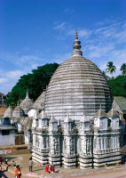
- Barpeta Satra
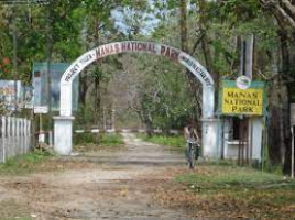
- Manas National Park
- Chakrashila Wildlife Sanctuary
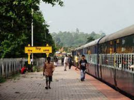
- Barpeta Road
Barpeta is Famous for
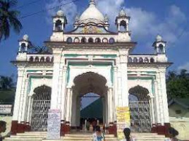
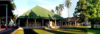
Barpeta is most famous for its historical Barpeta Satra, a Vaishnavite monastery that holds great religious and cultural significance in Assam.
Top Attractions in Barpeta
- Explore the ancient Barpeta Satra
- Witness the wildlife at Manas National Park
- Enjoy a safari at Chakrashila Wildlife Sanctuary
- Visit the scenic Barpeta Road
What's Great about Travelling to Barpeta?
- Experience the rich cultural heritage of Assam
- Explore the untouched natural beauty of the region
- Opportunity to witness traditional Assamese dance forms
What's Not So Great about Travelling to Barpeta?
- Limited accommodation options for tourists
- Language barrier for non-Assamese speakers
- Limited public transportation within the town
Travel Tips for Barpeta
- Check visa requirements for international travelers
- Prefer hiring a local guide for better exploration
- Respect the local customs and traditions
Important Barpeta trip information
- Ideal Duration: 2-3 days to explore the major attractions
- Best Time to Visit: October to March for pleasant weather
- Nearby Airports and Railway Stations: Lokpriya Gopinath Bordoloi International Airport in Guwahati and Barpeta Road Railway Station
This comprehensive travel guide provides valuable insights for anyone planning a trip to Barpeta, ensuring a memorable and enjoyable experience in this culturally rich town.